Mamara Resorts
Real Estate Development in Solomon Islands
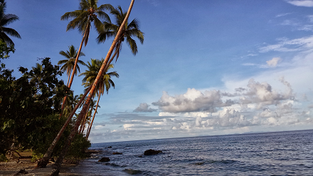
The Mamara site consists of 1160 hectares of beachfront land and is located some 7 kilometers west of Honiara. The land is 75 year leasehold title.
The Mamara site consists of 1160 hectares of beachfront land and is located some 7 kilometers west of Honiara. The land is 75 year leasehold title.